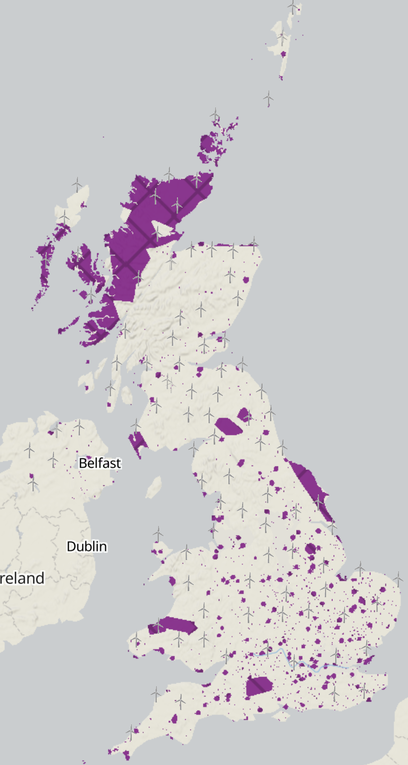
Aviation and exclusion areas
-
MOD training areas - UK
All OpenStreetMap WMTS layers served from Tileserver-gl using mbtiles files created with Tippecanoe from GeoJSON files. GeoJSON files created from OpenStreetMap data using... -
MOD exclusion areas - UK
All OpenStreetMap WMTS layers served from Tileserver-gl using mbtiles files created with Tippecanoe from GeoJSON files. GeoJSON files created from OpenStreetMap data using...
DataMapWales
DataMapWales serves as a source for public sector data in Wales, providing a shared data platform to members of the...
-
National Parks - Wales
This spatial dataset contains the boundaries of National Parks in Wales. National Parks were established to protect beautiful and relatively wild countryside by: - Preserving... -
Heritage Coasts - Wales
This spatial dataset contains boundaries of heritage coasts in Wales. Heritage Coasts occupy about a third of the Welsh coastline, that is 500 km (300 miles). These sites were...